
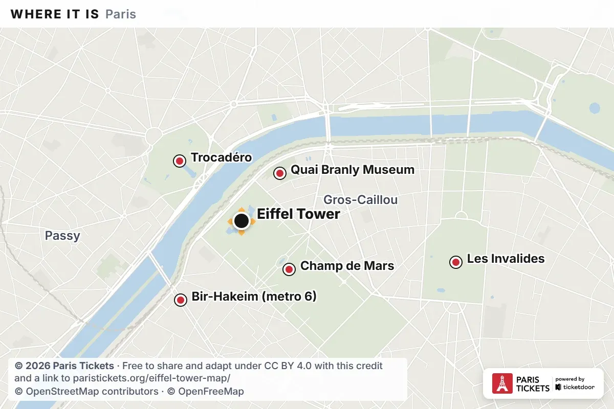
Eiffel Tower map and entrances
A 3D map of the Eiffel Tower with the two security gates, the two exits, the pillars and the three floors, a plan and a free PDF to print. Around the tower, the map places Trocadéro, the Champ de Mars and Les Invalides.
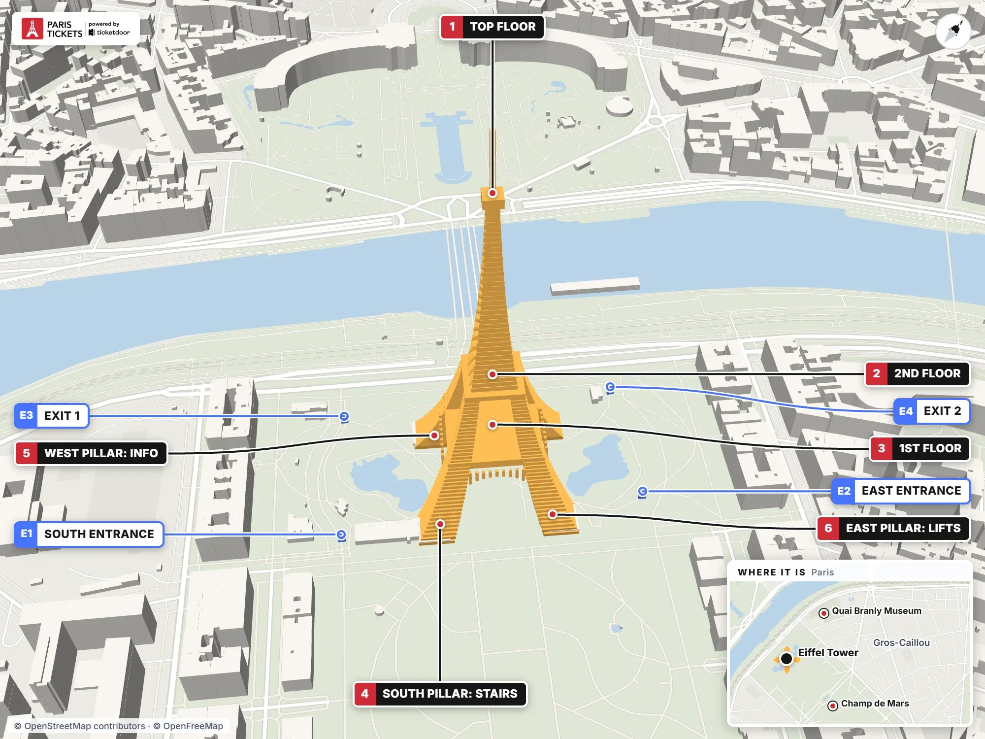
Eiffel Tower map with entrances and highlights
Red numbers mark the floors and the pillars of the tower, and blue E labels mark the gates where visitors go in and out of the esplanade.
Highlights on the map
- Top floor: The summit at 276 m, reached by lift only from the 2nd floor; Gustave Eiffel's restored office is up here.
- 2nd floor: Two viewing levels at 116 m and Le Jules Verne restaurant. The stairs end here, 674 steps from the ground; lifts continue to the top.
- 1st floor: At 57 m: the glass floor and Madame Brasserie.
- South pillar: stairs: The stairs usually start here, at the blue kiosks.
- West pillar: information: Information desk, accessibility reception (when open) and the shop, reached by a ramp; also a lift pillar.
- East pillar: lifts: Lifts leave from the West, East and North pillars; panels and staff on the esplanade guide you to the right queue.
Entrances and exits
- E1 · South entrance (gate 1): Security check for everyone going onto the esplanade, which is free; then on to the pillars. South corner of the gardens, on Allée des Refuzniks.
- E2 · East entrance (gate 2): Same security check as the South gate and often less crowded. Allée Jean Paulhan, east corner of the gardens.
- E3 · Exit 1: Exit from the gardens and esplanade. West corner of the gardens, on Allée des Refuzniks.
- E4 · Exit 2: Exit from the gardens and esplanade. North corner of the gardens, towards Quai Jacques Chirac.
For the rest of the city, the Paris tourist map marks the main sights across Paris and comes with a free PDF to print.
Eiffel Tower plan: the esplanade, the pillars and the floors
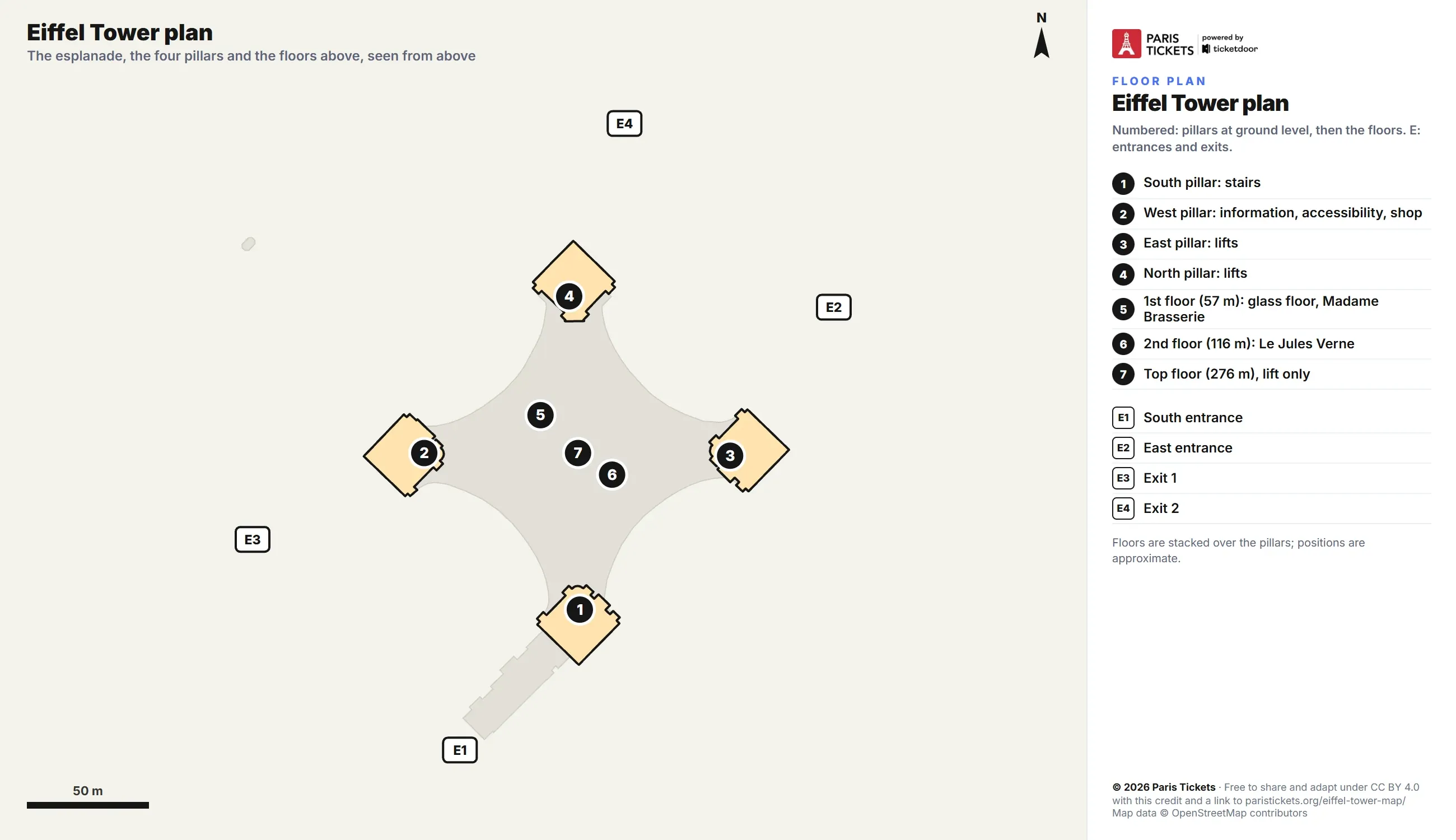
The plan shows the esplanade from above, with the four pillars at ground level and the floors stacked over them. The stairs usually start at the South pillar, the West pillar holds the information desk, the accessibility reception and the shop, and the lifts leave from the West, East and North pillars. Above come the 1st floor at 57 m with the glass floor, the 2nd floor at 116 m, where the stairs end after 674 steps, and the top floor at 276 m, reached by lift only. Positions are approximate.
Free printable Eiffel Tower map in PDF
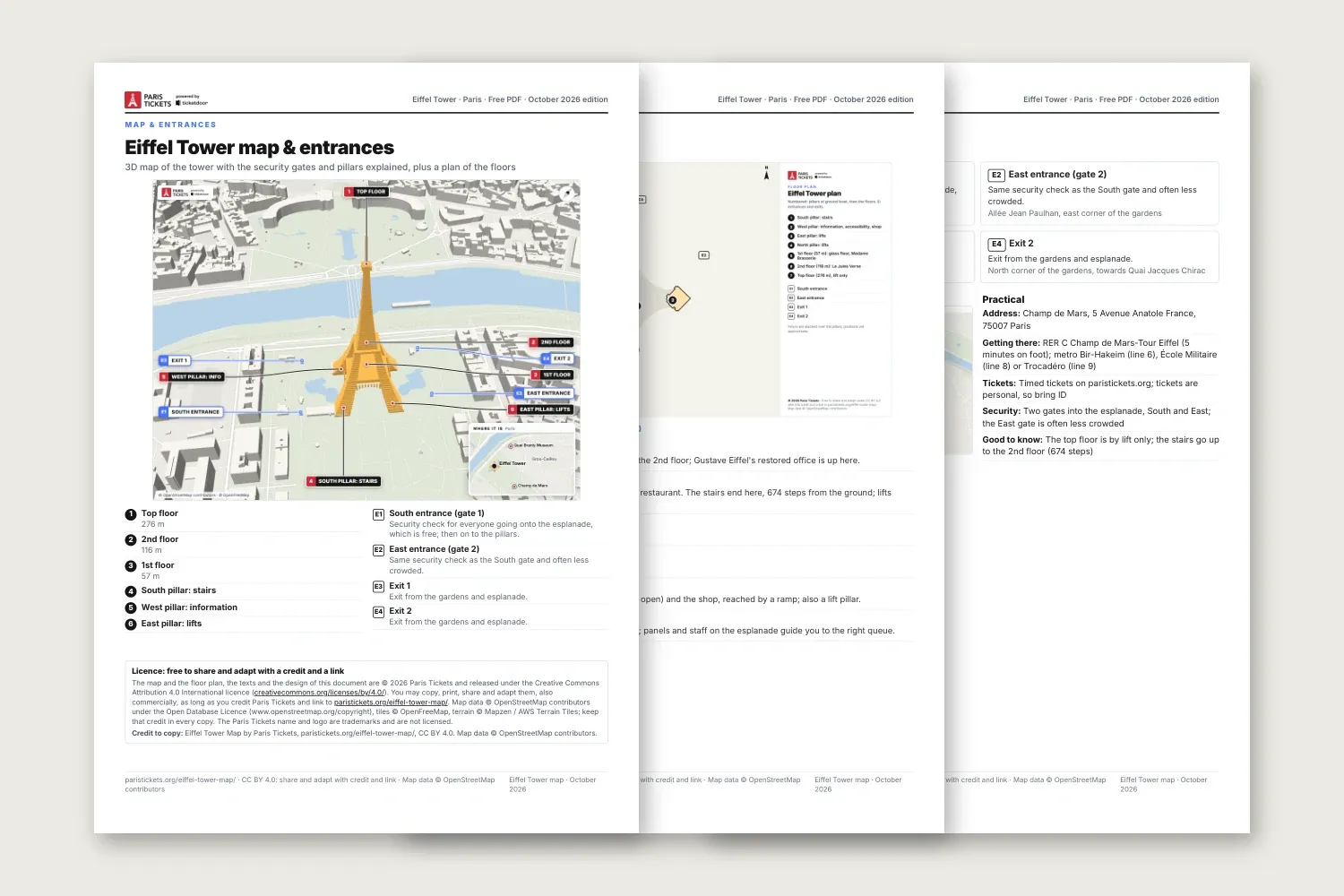
Free printable Eiffel Tower map in PDF
The PDF fits on three A4 pages. The first has the 3D map with its numbered key, the second the plan with a short note on each highlight, and the third the security gates and the exits, the location map and the practical details.
Eiffel Tower tickets
Licence
The map, the plan, the PDF and the texts are © 2026 Paris Tickets and free to copy, share, print and adapt, also commercially, under Creative Commons Attribution 4.0 International. The only condition is a credit to Paris Tickets with a link to this page. Map data © OpenStreetMap contributors (ODbL), tiles © OpenFreeMap, terrain © Mapzen / AWS Terrain Tiles: keep that credit too.
Plain text: Eiffel Tower Map by Paris Tickets, paristickets.org/eiffel-tower-map/, CC BY 4.0. Map data © OpenStreetMap contributors.
More information about the Eiffel Tower
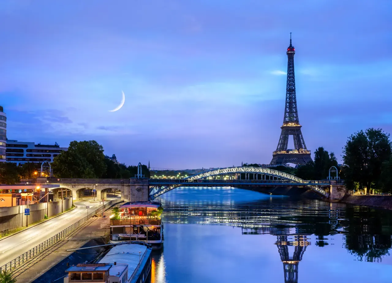
When does the Eiffel Tower sparkle?
After dark, the guide to when the Eiffel Tower sparkles gives the schedule for tonight and the best spots to watch.
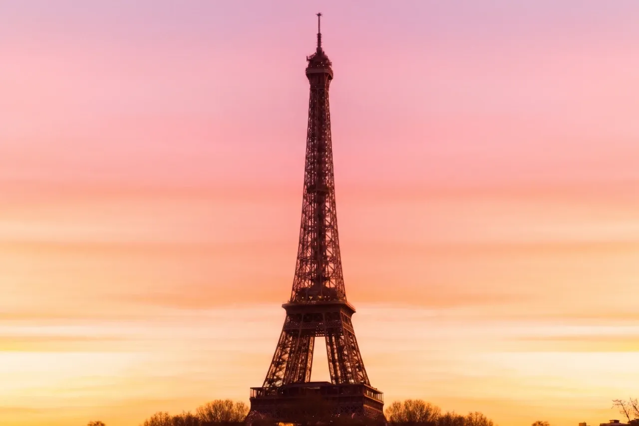
When does the Eiffel Tower turn pink?
In October, the page on when the Eiffel Tower turns pink explains Octobre Rose and where to watch the lights.
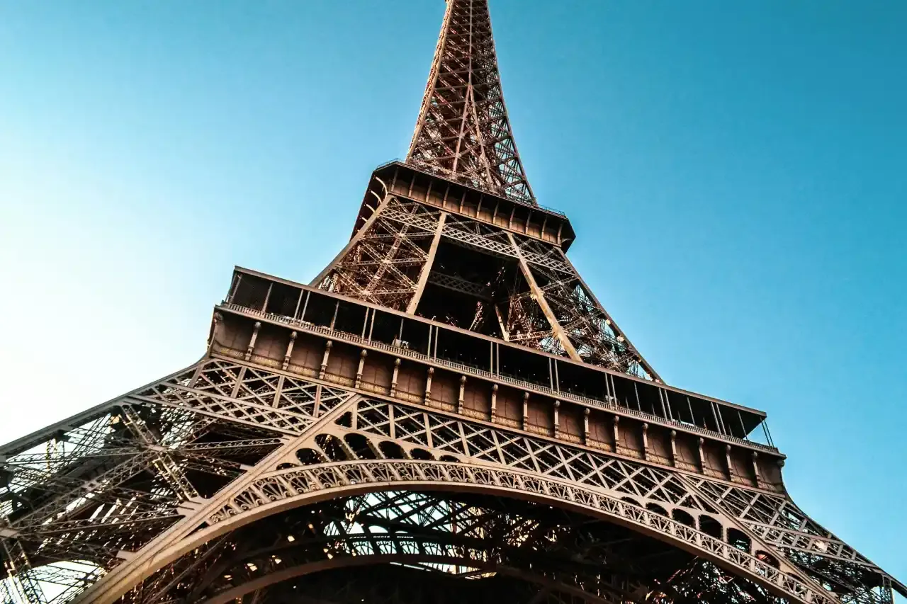
Eiffel Tower tickets
Tickets run on timed slots, and the Eiffel Tower tickets page shows each option with its dates.